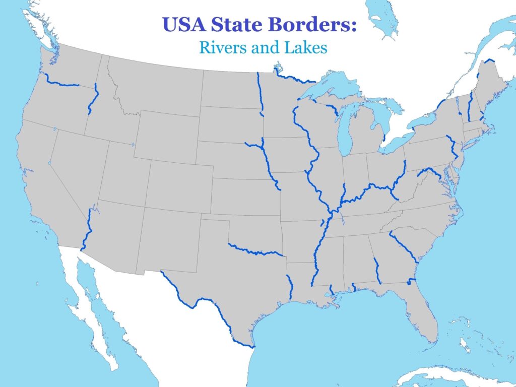
Many children can recite the names of states or major cities but fail to visualize their physical relationship. Using a USA map with rivers and lakes helps bridge this gap, transforming flat names into a coherent mental image of the country's actual terrain and interconnected waterways.
Geography often feels like a dry list of facts to memorize until children can physically see the landscape. When a student memorizes the Mississippi River without understanding where it begins or how it connects to the Gulf of Mexico, they lose the context that makes geography interesting. By using a printable map, you provide a canvas that allows children to trace the paths of water and understand why cities historically developed along these vital natural resources.
Start With Simple Map Discovery
Begin by asking your child to simply look at the map and identify the largest bodies of water they can find. Encourage them to use their finger to trace the length of a river from its source to its mouth, noting how many states it passes through along the way. This tactile exploration builds spatial awareness and helps them realize that rivers act as natural borders and life-sustaining arteries for the regions they traverse.
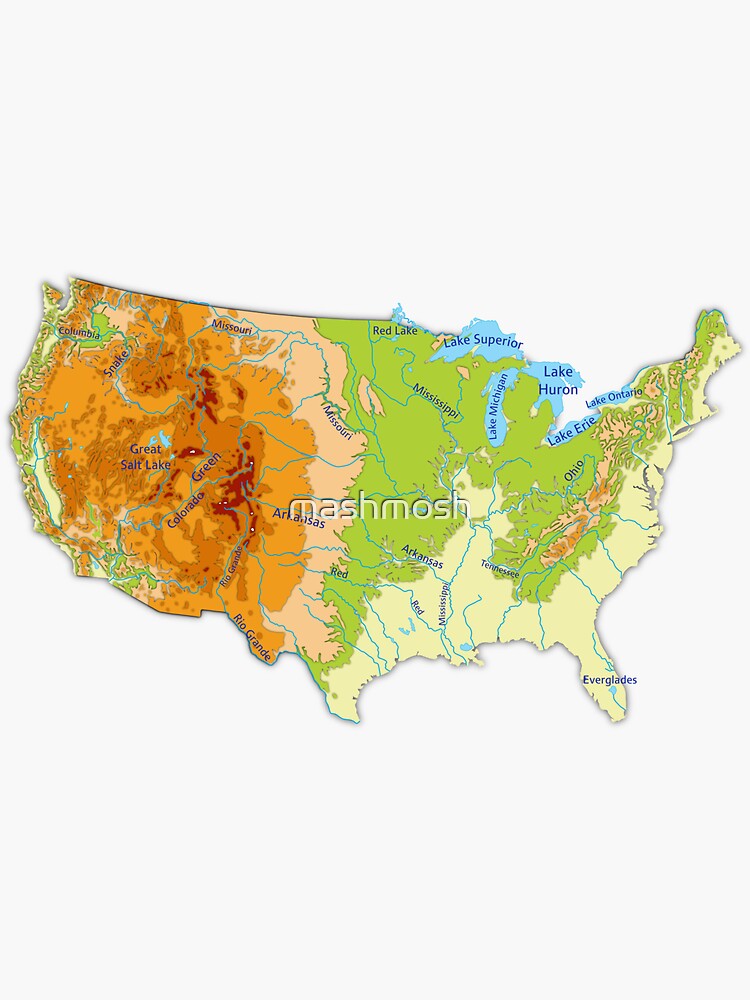
One of the most effective ways to utilize a USA map with rivers and lakes is to color-code the geography based on specific themes. For example, have your child color all the major lakes in one shade of blue while using a darker shade to highlight the primary river basins. You can also assign different colors to regions with high precipitation versus arid zones, which helps children understand how water availability influences where people choose to settle and build their communities.
Create a Labeling Challenge
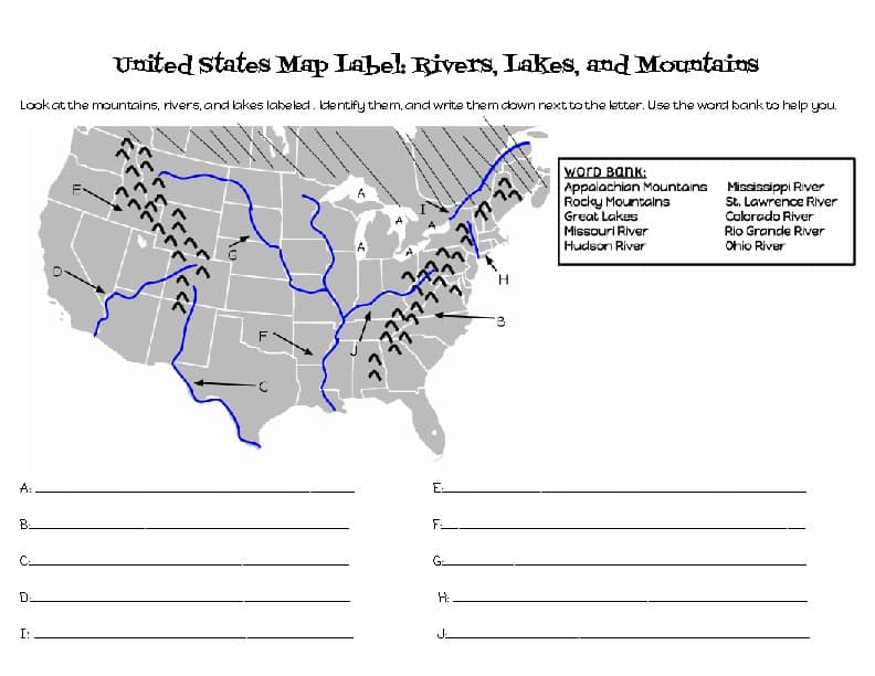
To deepen knowledge, assign a labeling challenge that scales with your child's age and experience level. For beginners, provide a word bank and ask them to place stickers on the correct major rivers like the Missouri or the Colorado. For more advanced learners, challenge them to label the Great Lakes without any hints or to draw the drainage basins of the major river systems to show how the topography of the United States funnels water toward the oceans.
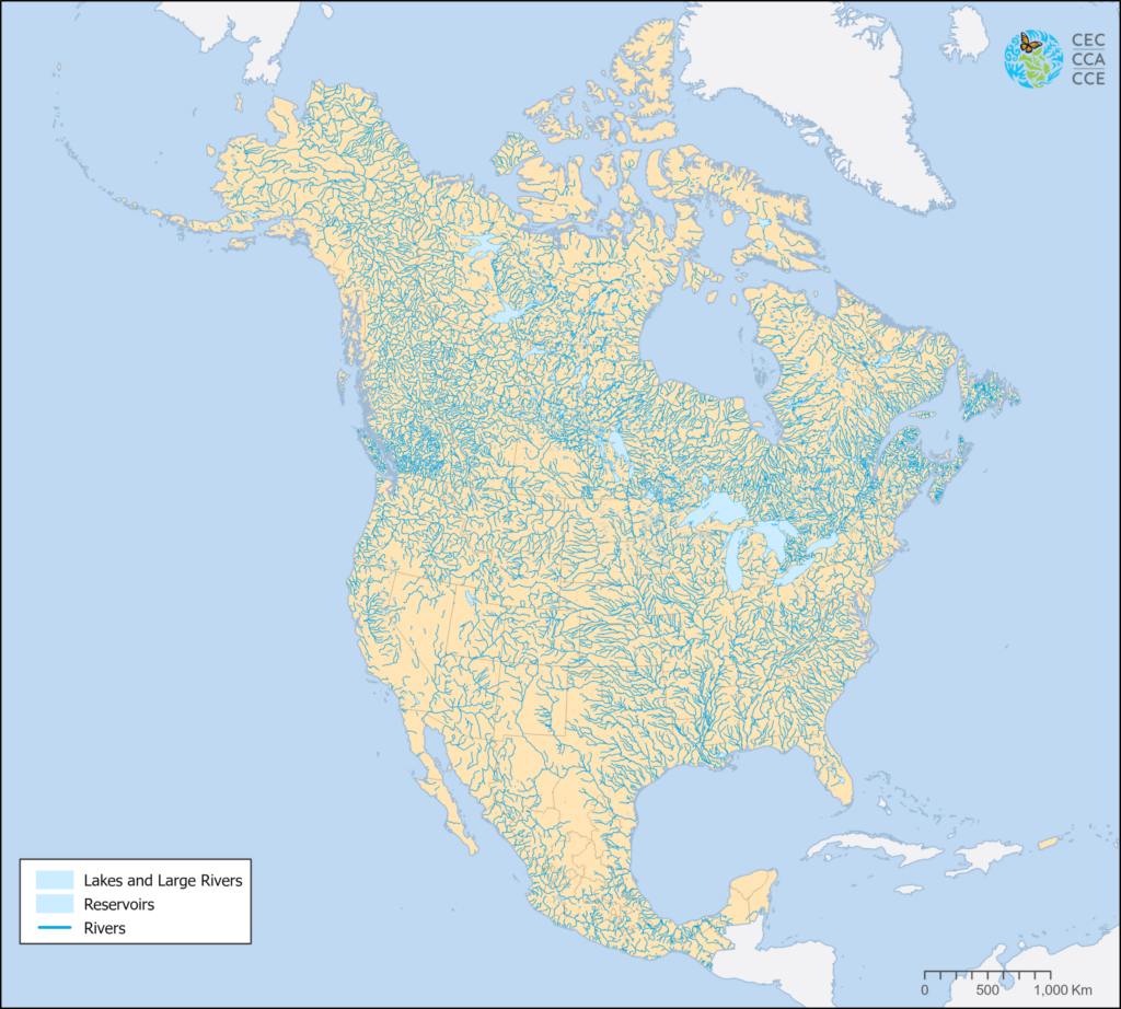
Once the map is labeled, turn it into a dynamic geography quiz to test retention in a low-pressure way. Ask specific, practical questions such as which river flows through the heart of the Midwest or which state contains the most famous mountain lakes. By focusing on how water affects geography rather than just memorizing state capitals, children begin to appreciate the physical environment as a puzzle that they can solve through logical deduction and research.
The true value of a USA map with rivers and lakes lies in the conversation it sparks between parent and child. Instead of viewing it as a worksheet, treat it as a shared project where you plan imaginary cross-country trips following the path of the water. When you take the time to investigate a specific place together, you make the learning experience meaningful, ensuring that the geography remains stuck in their long-term memory far longer than any textbook lesson ever could.