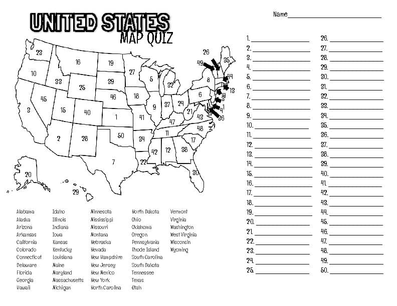
If your child is gearing up for a United States map test, you probably remember the late-night stress of memorizing borders and capitals yourself. Let's turn that anxiety into an interactive family game that actually sticks.
Most of us dread the idea of drilling geography with flashcards, but learning the map doesn't have to be a chore. By incorporating visual aids and hands-on activities, you can help your student move beyond rote memorization to truly understanding where they live. Instead of staring at a static textbook, we can use these moments to build a foundation for travel planning and historical awareness that lasts long after the grade is recorded.
Why the United States Map Test Matters
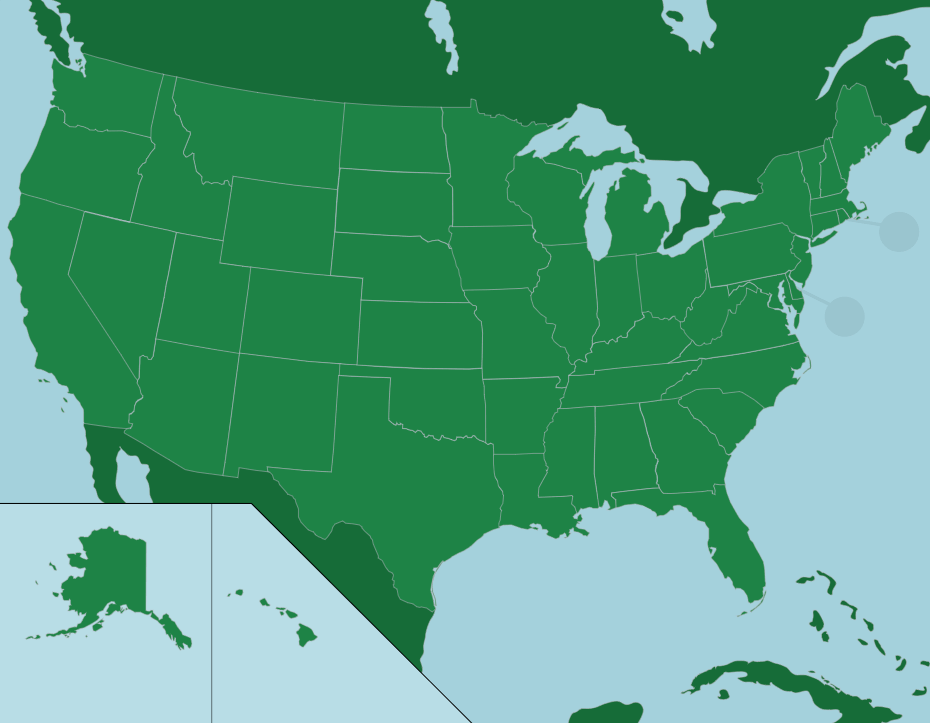
A United States map test is more than just a hurdle for a social studies grade; it is an introduction to the physical layout of our country. When a child learns how the Appalachian Mountains snake through the East or how the Mississippi River defines the heartland, the map transforms from a flat piece of paper into a story about how our nation grew. Giving them a solid grasp of these regions allows them to contextualize the news, historical events, and even the road trips you might take together as a family.
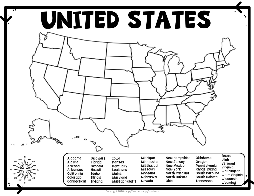
We found that starting with a large, printable map on the dining room wall works wonders for daily absorption. Even a simple, blank United States map worksheet can spark curiosity when it sits in plain sight during dinner. Rather than pushing for a perfect score right away, encourage your child to label just three states a day, starting with the ones they’ve visited or have family in, which helps build a personal connection to the geography.
Tactical Learning Strategies
To prepare for a big quiz, try turning the living room floor into a giant game board using a road map or a floor-sized puzzle. Have your child place sticky notes or cutout shapes on the states as they call out the names, turning the study session into a movement-based activity. This physical interaction is often the missing piece for students who struggle to translate a tiny paper worksheet into a real-world concept of distance and location.
If you want to keep the practice low-pressure, use a map-based app or a simple dry-erase board to draw out the routes for your next family vacation. Asking your child to navigate by identifying the states you will drive through helps them visualize the scale of the country in a way a test never could. By the time they sit down for the actual exam, they will have spent weeks 'traveling' through those borders, making the identification of state lines feel like second nature.
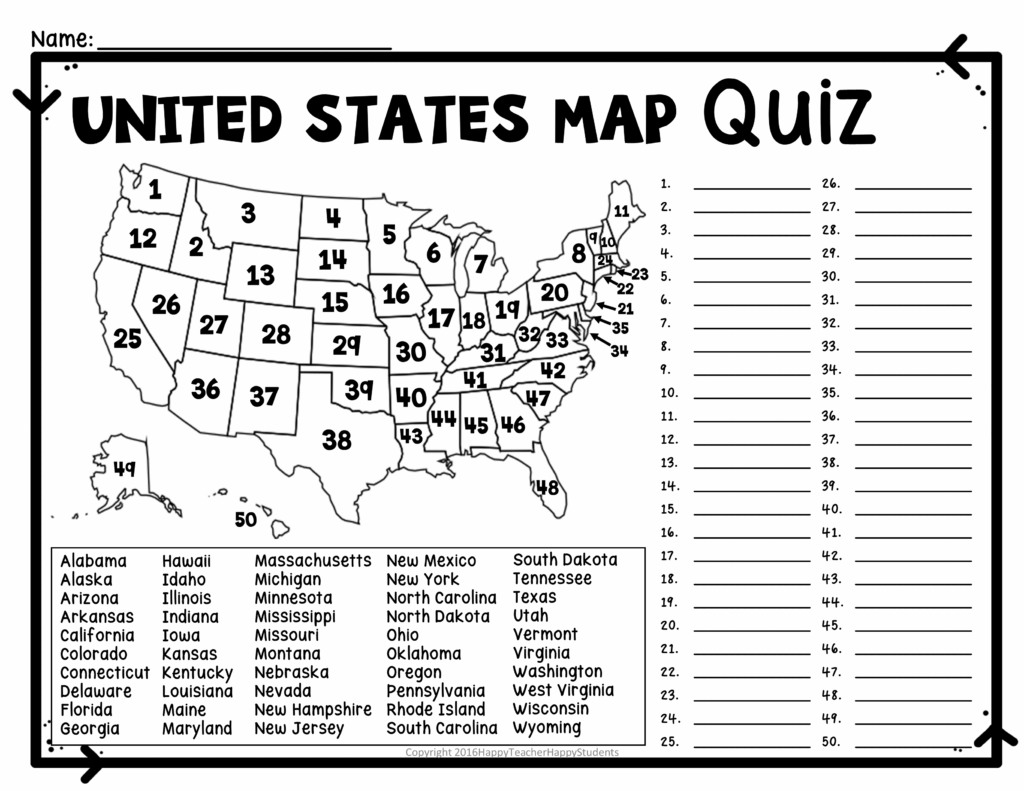
Ultimately, your support is the best study tool your student can have. When you frame geography as a key to exploring the world rather than just a testing requirement, you foster a sense of curiosity that serves them far better than a simple memorized list. Keep the maps accessible, keep the conversations going about where different places are, and watch as they gain confidence not just for the test, but for their future adventures across the country.