When students view a fully labeled map, they often passively observe information without engaging their brains. In contrast, using a blank US maps printable resource forces a shift from passive recognition to the active reconstruction of geographic knowledge.
The core pedagogical advantage of removing labels is the move toward active recall. When a map is already filled with names and borders, the brain simply scans and identifies existing data points, which requires minimal cognitive effort. By providing a blank outline, educators force the student to mentally navigate their internal library of geography. This process of retrieval strengthens the connection between the spatial layout of the country and the associated facts, turning a static observation into a productive mental exercise.
Start With the Easy Places
Beginners should never be overwhelmed with the entire fifty-state layout at once. Educators often find success by asking students to identify only a few recognizable states, such as the large landmasses of Texas, California, or Florida. By focusing on these distinct shapes first, learners gain the confidence needed to tackle more complex clusters in the Northeast or the Midwest. This step-by-step approach ensures that the map becomes a canvas for success rather than a source of frustration.
Add Labels Gradually
To prevent cognitive overload, teachers and parents can utilize a progressive approach to labeling. Instead of requiring a completed map in one sitting, start by adding capital cities or just a single region of the country. This method allows students to master one section before layering on additional data, such as major mountain ranges or river systems. The goal is to build complexity over time, ensuring that each new piece of information is anchored to a foundation that is already well-understood and secure.
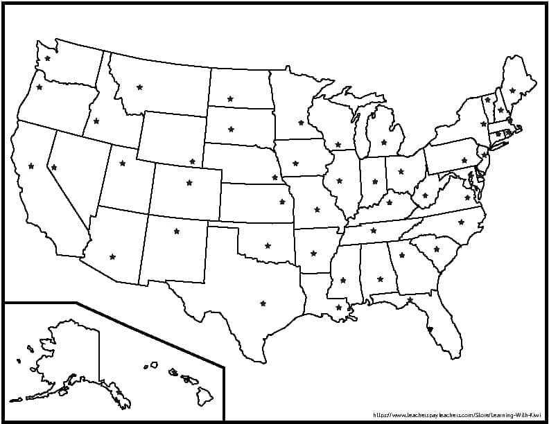
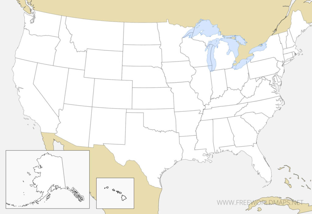
Beyond simple labeling, blank US maps printable pages offer an excellent format for thematic categorization. Students can color-code states based on specific criteria, such as time zones, climate patterns, or regions like New England and the Deep South. This type of activity transforms the map into a tool for data visualization, helping learners understand how various physical or social characteristics are distributed across the nation. By assigning meaning to specific colors, students engage in higher-order thinking that goes far beyond basic identification.
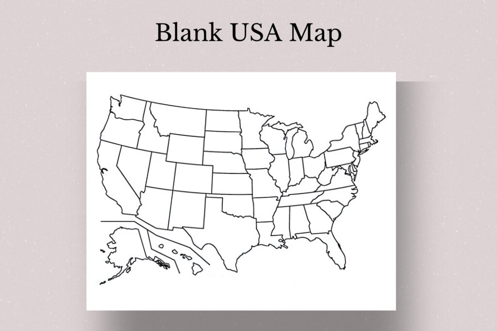
When you turn a blank US maps printable into an interactive quiz, you create a dynamic assessment tool that encourages self-correction. For example, a teacher can place numbered stickers on specific states and ask students to write the corresponding names on a separate sheet or directly onto the map. This practice session allows students to measure their progress in real-time, identifying exactly which areas require more study. By treating the map as a blank slate for testing, learners can regularly challenge their memory, providing a clear path to mastery through repetitive, low-stakes practice that builds long-term retention of geographic data.