Imagine handing a child a map and giving them a mission. Instead of a dry lecture, geography becomes a quest. By using a USA map free printable, you transform flat paper into a gateway for discovery, turning the states into milestones on an epic cross-country adventure of their own making.
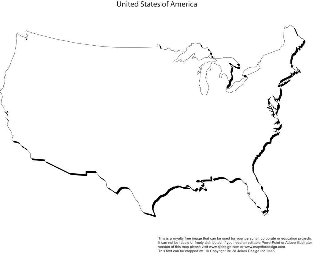
Traditional geography lessons often feel like memorization drills that fade the moment the test ends. When we shift the focus to exploration, we invite children to treat the United States as a vast, interconnected puzzle waiting to be solved. A simple USA map free printable serves as the ultimate tool for this transformation, providing a visual playground where kids can trace paths, imagine landscapes, and build a spatial understanding of the country that feels tangible and personal.
Mission One — Find the Starting Point
Begin by asking your young explorer to locate the state where they currently live and mark it with a bright star. Then, pose a challenge to find the furthest state from home, encouraging them to measure the distance using their fingers or a piece of string. This initial step grounds the abstract map in reality, helping them understand their own physical position in relation to the rest of the nation.
For the second mission, provide a series of directional clues that lead to a specific destination. Tell them to start at a coastal city, travel two states north, and then head west until they reach a state known for its mountains. This forces them to identify boundaries, read the map for neighboring states, and understand cardinal directions in a practical, hands-on environment.
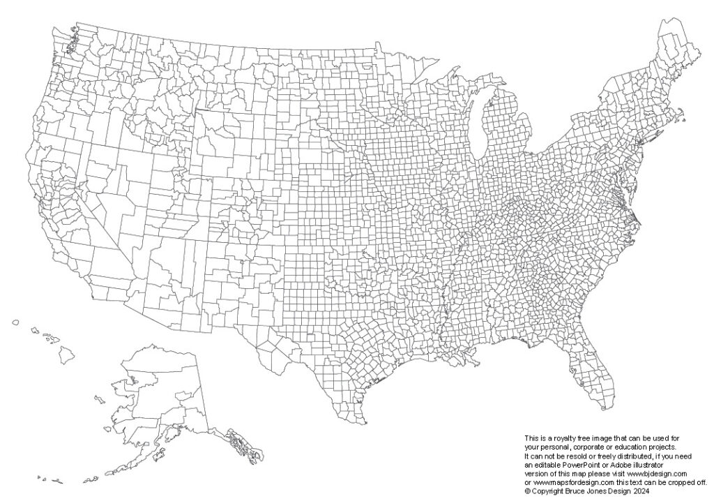
Mission Three — Find the Hidden Place
Create geographic riddles that require them to investigate the terrain or landmarks of a state to identify it. For example, describe a place where the Grand Canyon is located or ask them to find the home of the Great Lakes. By using the map as a reference to verify their answers, they develop the habit of cross-referencing information with visual data.
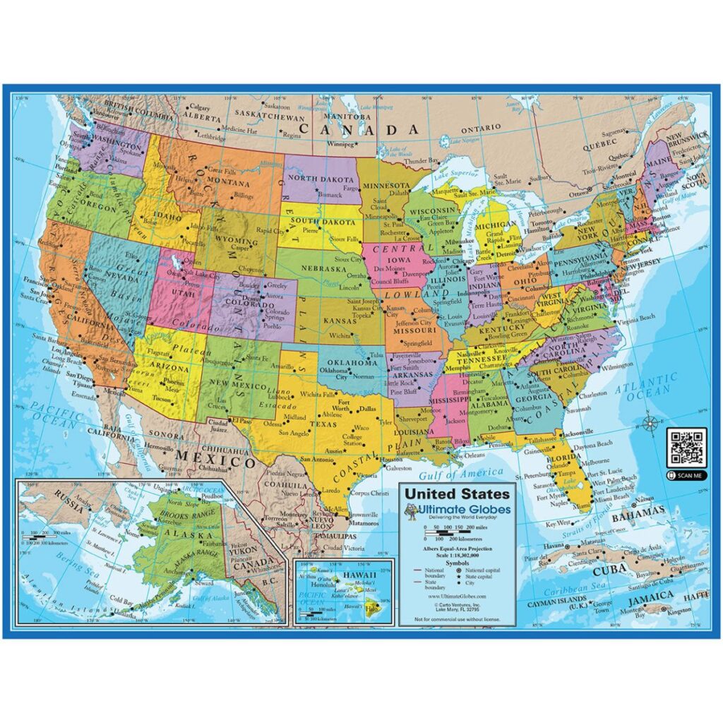
In this mission, ask the children to name the states that touch the border of their chosen mystery state. This exercise introduces the concept of regional neighbors and helps them understand how borders divide the land while states share environmental and cultural features. It builds a mental web of connections that makes geography much more than just a list of names and capitals.
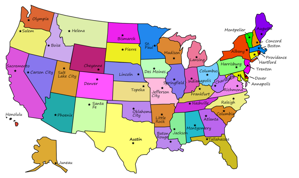
Challenge your explorers to design their own cross-country road trip, selecting five states they want to visit. They must draw the route, explain why they chose each stop, and calculate which states they will pass through along the way. This activity encourages them to think about logistics, travel time, and the diversity of the American landscape while taking full ownership of their hypothetical expedition.